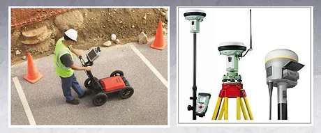
GPR survey records reflected radio waves that are pulsed into the ground as the radar antenna is dragged along the ground surface. Changes in the ground make-up, such as from soil to stone, provide conditions where some of the transmitted energy is returned to the surface. In this way, subsurface features can be mapped.
© 2024 Created with Nathan Smart Way